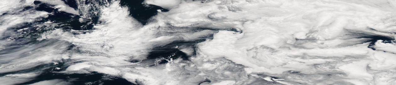
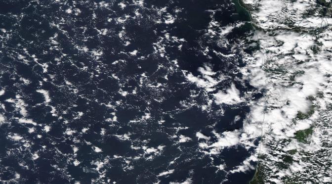
In the sunglint region of the Aqua swath (22:20 UTC, July 19th, during Research Flight 07 of the NSF CSET project), you can clearly see cold pool boundaries in the sea-state. Presumably changes in capillary waves amplitudes associated with different wind speeds are altering the amount of sunglint. I suspect that the mean wind here is pretty light in order to see strong reflections. You can also see a band of new cumulus clouds at the convergence of the outflows.
These cloud arcs seen in Worldview, with a shallow cumulus field below 1 km and extended arcs of deeper cloud to 3 km are quite remarkable. CALIPSO provides amazing information about the cloud heights, see below:
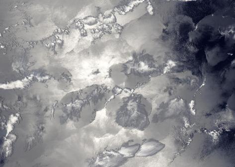
The image below shows a zoomed in portion, this time using the 3-6-7 MODIS channel blend (0.4,1.6,2.1 micron). Look carefully at the centers of the open cells. Quite a few have little patches of what I take to be evaporating precipitation/cloud. They actually show up slightly blue in the 3-6-7 blend.